Lake Longemer
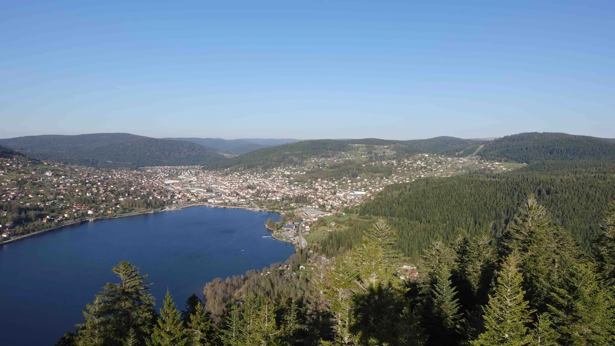
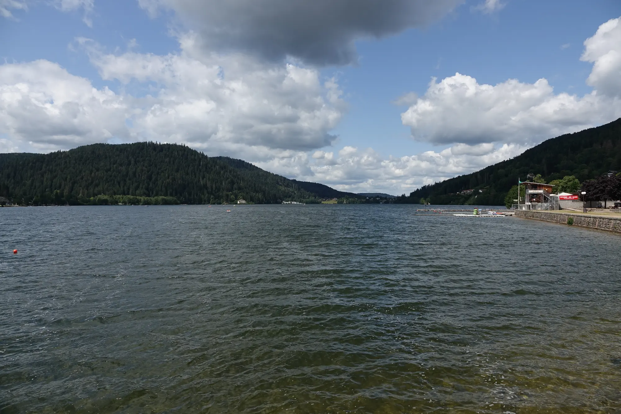
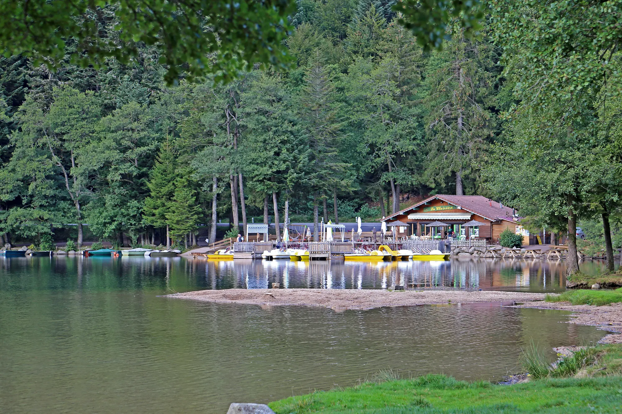
Two kilometres long and fringed with meadows, Lake Longemer feels wilder than Gérardmer. The path around it takes an hour and a half, alternating between shoreline and woodland. Swimming is possible in summer from the managed beach, and the water is a little cooler — which is a real pleasure in the heat.
Lake Retournemer
Higher up the valley, Retournemer is a small deep-green lake hemmed in beneath the cliffs and fed by springs. Swimming is not allowed, but the viewpoint from the road just above is one of the most photographed in the Vosges. The Saut des Cuves, a granite waterfall a few minutes' walk away, is right next door.
Hiking in the valley
Many paths climb from the valley up to the ridges: the ascent of the Hohneck via the Roche du Diable, the tour of the three lakes, or the Sentier des Roches, a spectacular route cut into the cliff between the Schlucht and the Frankenthal. That last one calls for some experience and good boots, but it remains one of the finest walks in the range.
The lake in figures
Longemer measures 1,950 metres by 550, covering 76 hectares and reaching 34 metres at its deepest. It lies at 736 metres, 76 metres above Lake Gérardmer — the two occupy the same glacial valley, carved by the same Würm-era glacier. The Vologne runs straight through it, feeding it and draining it. Since 2002 the lake and 900 hectares around it have been a protected site, which explains the absence of building along much of the shore.
The chapel and the campsites
On the western shore stands a small chapel dedicated to Saint Florent, rebuilt in 1727 as Saint-Laurent des Graviers. It is one of the few old buildings by the water, and a handy landmark on the walk round. The commune of Xonrupt-Longemer also has thirteen campsites, which gives the lake a summer atmosphere quite unlike Gérardmer's: family-oriented, spread across the meadows, with no built-up lakefront. In July 2002, Longemer hosted rounds of the fly-fishing world championship.