The Col de la Schlucht
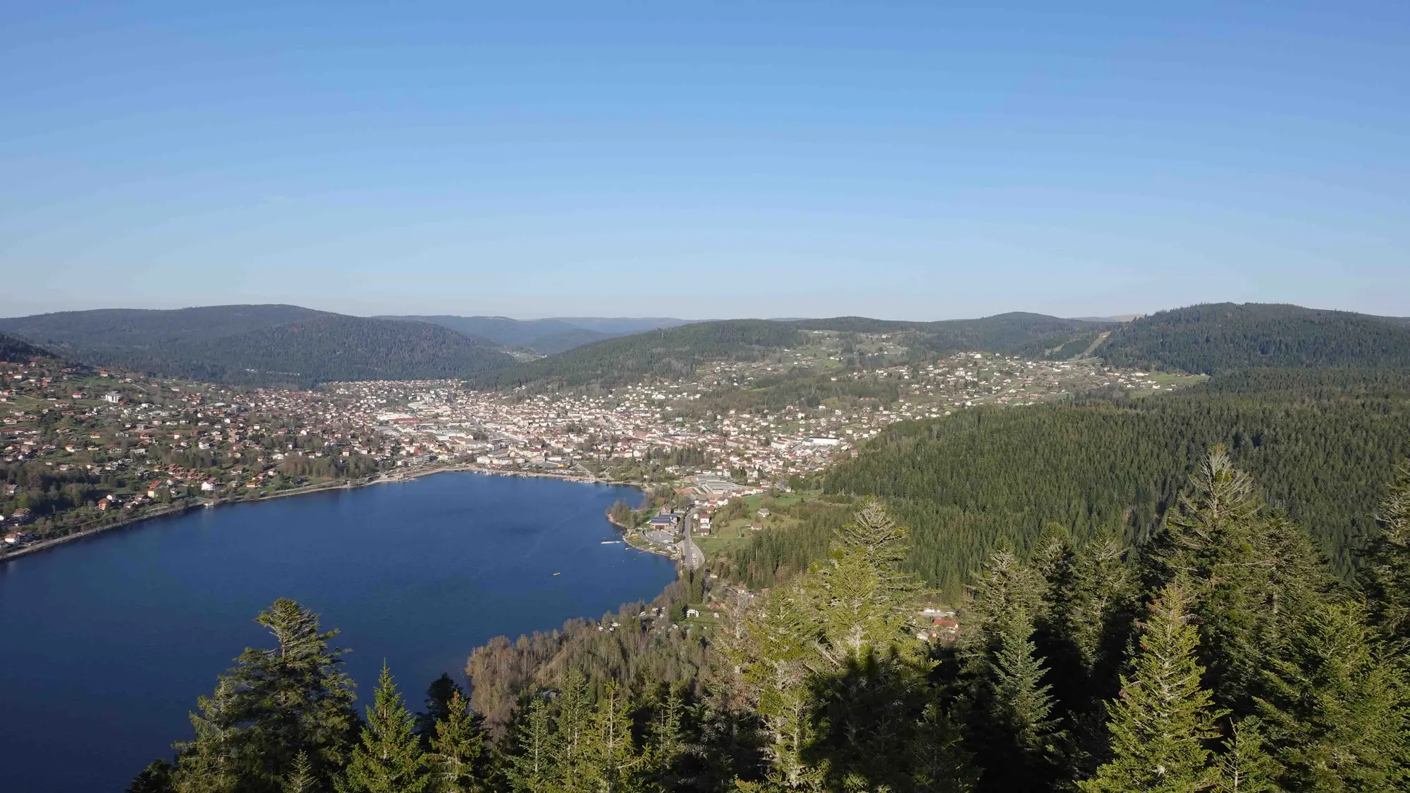
At 1,139 metres and twenty minutes from the chalet, the Schlucht is the natural gateway to the ridges. The pass marks the border between the Vosges and Alsace: wooded valley on the Gérardmer side, a vertiginous drop towards Munster and the plain on the other. The Haut-Chitelet alpine garden, two kilometres away, gathers 2,700 mountain plant species from around the world.
Driving the ridges
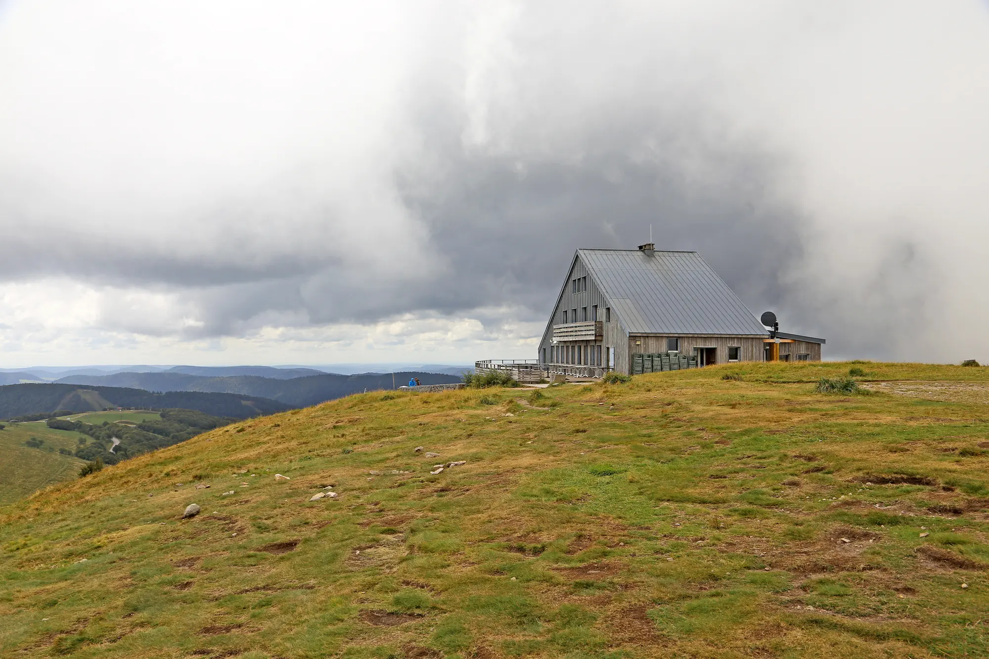
From the Schlucht the road heads south along the chaumes, the open high pastures that give the range its distinctive look. Hohneck, Markstein, Grand Ballon: each summit has its own panorama over the Alsace plain and the Black Forest. Allow two hours' driving without stops to the Grand Ballon, but set aside the day — you will stop constantly.
The farm-inns
The ridges are dotted with fermes-auberges, working mountain farms that serve the repas marcaire: savoury tart, smoked pork collar, roïgabrageldi, farmhouse Munster and bilberry tart. These family tables are a local institution; book the day before, especially at weekends.
Good to know
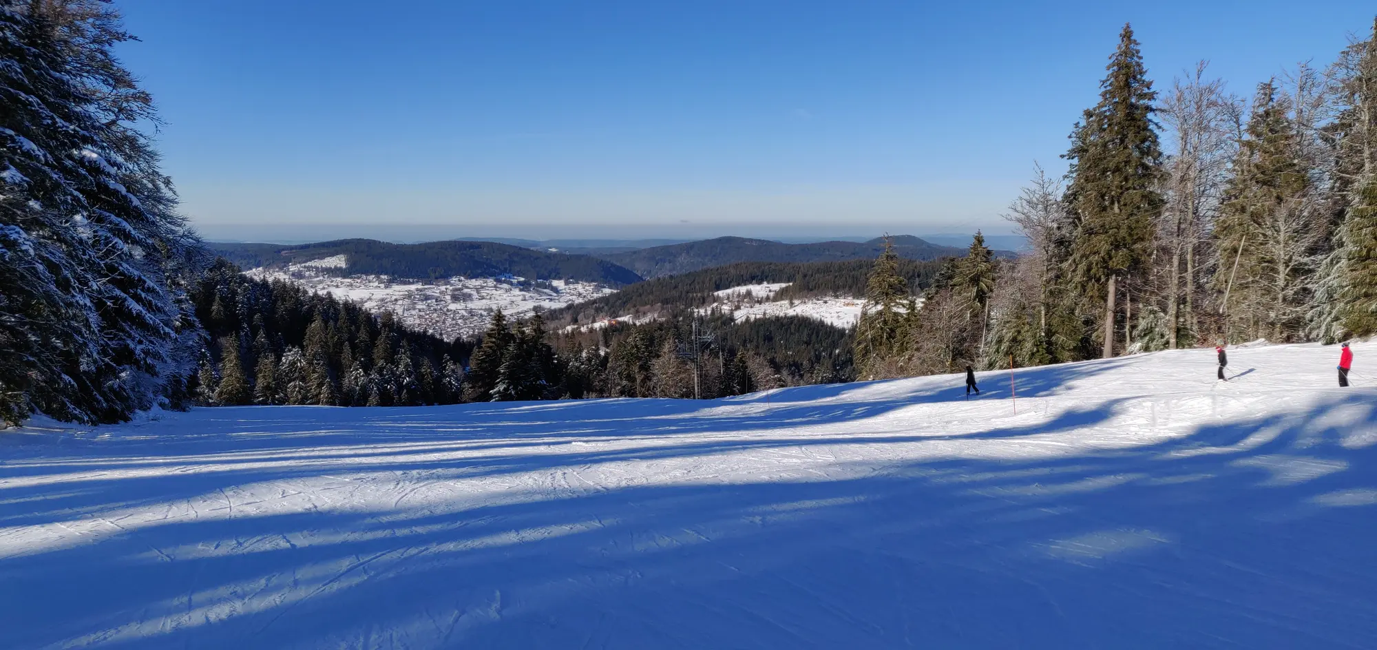
The Route des Crêtes is closed between the Hohneck and the Markstein from November to April depending on snow, the stretch becoming a Nordic area. Cyclists are numerous in summer, so take care on the descents. Fog can come down fast on the high pastures, even in August.
A border that became a scenic road
The pass road was built between 1842 and 1869, but it was the defeat of 1871 that made the Schlucht a place apart: until 1918 the col marked the border between France and the German Empire, with its frontier post and its customs officers. Both countries ran railways up to it — the Gérardmer tramway, inaugurated on 29 June 1904 on the French side, and the Munster rack railway, opened on 13 May 1907 on the German side and halted in 1914. Today's road, the D 417, follows that same line on both flanks.
The Sentier des Roches
Opened in 1910 by Henri Strohmeyer, then president of the Club Vosgien, the Sentier des Roches leaves the Col de la Schlucht and runs along the cliff face towards the Frankenthal. It is one of the most spectacular routes in the massif: walkways, steps cut into the rock, handrails above the drop. It calls for a sure foot and proper boots, and is best avoided in wet weather or when there is ice. Allow three hours there and back. It is no family stroll, but it may well be the finest hour's walking in the Vosges.